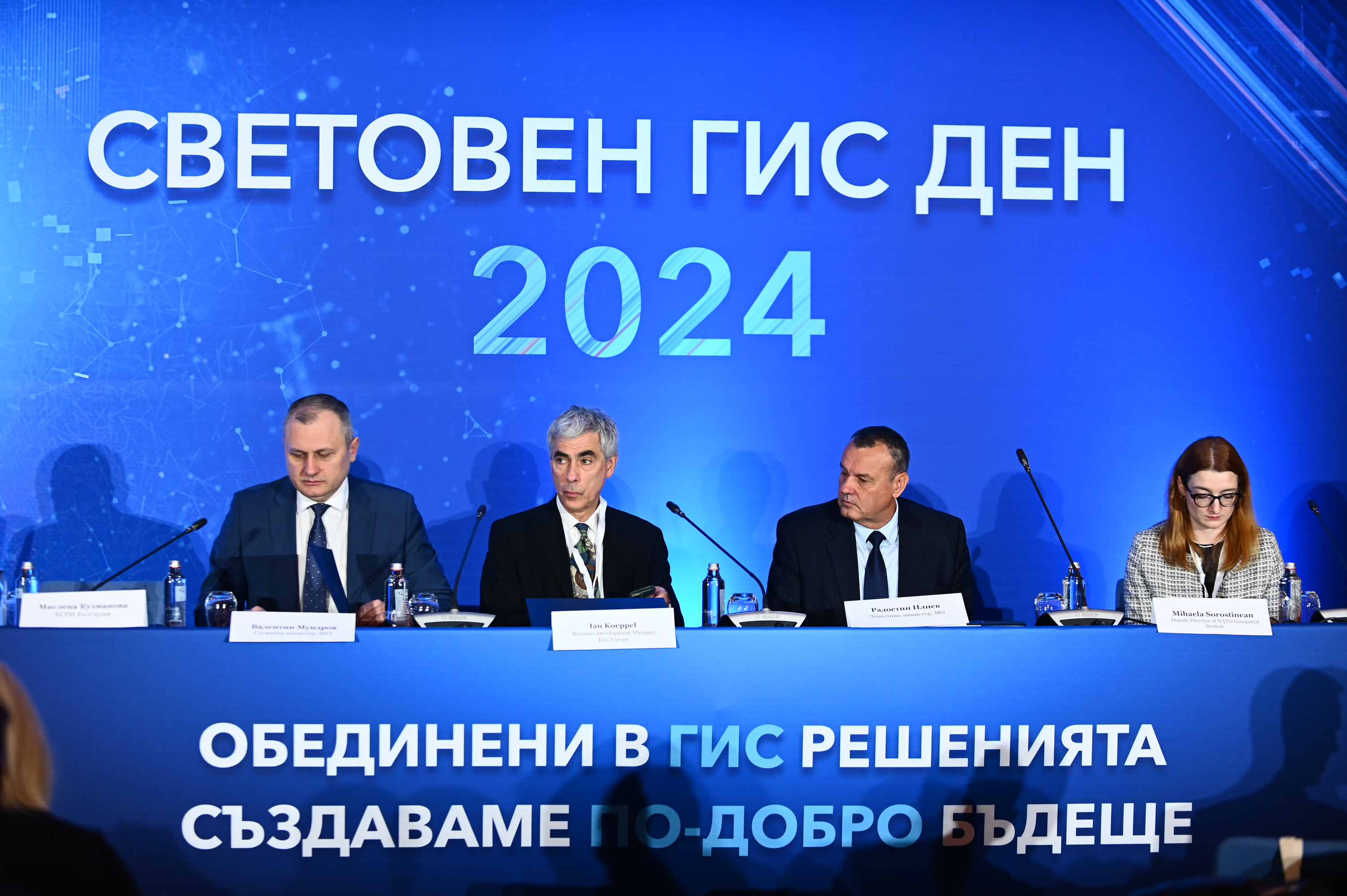
Experts from various fields celebrate the 25th World Geographic Information Systems (GIS) Day in our country
25 November 2024

The 25th World GIS Day in our country is being held under the slogan 'United in GIS Solutions, We Aim to Create a Better Future'. The event is organized by Esri Bulgaria, Varna Free University is a partner of the initiative. More than 800 GIS experts, key specialists from various fields of administration, business and the NGO sector, as well as prominent academic and media representatives are participating in the prestigious forum.
Valentin Mundrov, Acting Minister of e-Government, and Radostin Iliev, Acting Deputy Minister of Defense, participated in the official opening. Both of them emphasized the increasingly important role of geotechnologies in their areas.
Minister Valentin Mundrov said: "GIS are becoming indispensable in the public and private sectors for solving key tasks - from sustainable development, natural resource management, electricity distribution network, through urban planning and Digital Twins, to disaster management. The Ministry of e-Government actively supports all state administration structures that want to implement and develop GIS, because I realize their key role in transforming state administration, making it more efficient and transparent.”
During the official opening of the World GIS Day, the special guest of the event, Jan Kopel, Business Development Manager at Esri Europe, presented Sofiyska Voda AD with the highest international award for Special Achievements in GIS. “90% of all state and military agencies in Europe use Esri ArcGIS as their main GIS,” said Jan Kopel to the conference guests. He also talked about how GIS technologies were applied in the management of an extremely serious disaster such as the earthquake in Turkey and Syria. Among other examples presented by Jan Koppel were the applications of GIS in Natura 2000, for security reasons during the Summer Olympics in Paris, for monitoring sea levels, for overcoming the pothole crisis on the UK road network, for improving rail transport in Italy and many others.
Among the special guests of this year's World GIS Day in Bulgaria is also Michaela Sorostinyan, Deputy Director of the NATO Geospatial Section. She introduced the conference participants to GIS technologies for supporting the Alliance's Situation Center. Sorostinyan spoke about the application of geographic information systems to provide situational awareness to the North Atlantic Council and the Military Committee during peace, tension and crises, as well as for high-level exercises. She also presented the diverse GIS products and services that the NATO Geospatial Section team provides in the land, sea, air and space domains. This includes everything from rapid mapping to providing the most up-to-date operational picture of conflicts and disasters through specialized dashboards and applications.
The latest technological innovations, global trends in the field of GIS, as well as good practices from Bulgaria and Europe were presented during the conference part of the largest GIS event in our country.
After the conference, the celebration of the 25th World GIS Day in our country continued with the solemn ceremony of awarding the winners of the National Educational Competition 'We Study the World with GIS', under the patronage of the Ministry of Education and Science, for interactive lessons, innovative learning resources, digital stories and other GIS projects in each of the four categories of the competition: Teachers, University Students, School Students and School Team.
World GIS Day is organized by Esri Bulgaria with the support of Geografika, Telelink Business Services, Ciela Norma and Agora 66.

